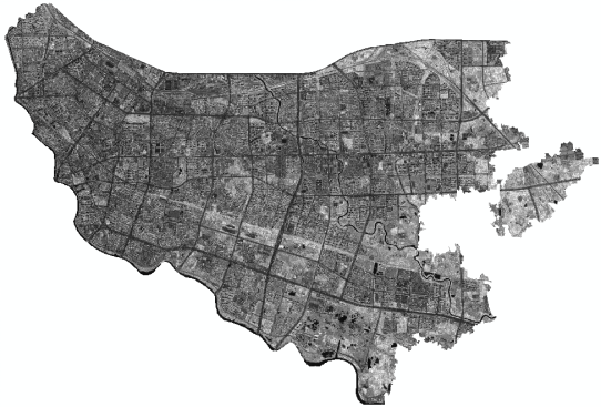
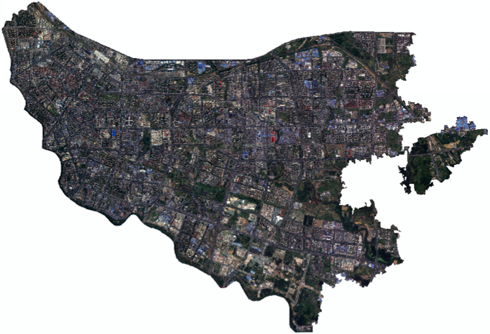
The company successfully launched and placed into orbit the commercial optical satellite “Yaohai Kechuang No. 1” on December 10, 2025. This satellite can efficiently network with the Jilin-1 constellation, significantly enhancing data acquisition capabilities.
Relying on China’s top-tier constellation resources—including Changguang Satellite, CAS Star Map, and HuanTian Wisdom—the company integrates advantages across the entire industry chain to offer satellite remote sensing data production solutions that precisely meet market demands. By directly addressing customer pain points, the company provides efficient, reliable, and customized remote sensing data services, thereby supporting digital transformation across various industries.
I. Directly Addressing Customers’ Core Pain Points
Data acquisition lag: Break through the bottleneck of long acquisition cycles and slow response times inherent in traditional remote sensing data, enabling rapid imaging and efficient delivery to address pain points in emergency response and high-frequency monitoring needs;
Insufficient data accuracy: Leveraging the “Yaohai Sci-Tech Innovation Satellite” combined with China’s top-tier constellation resources, we provide high-resolution, high-temporal-resolution data, thereby avoiding the issue of low-accuracy data failing to meet the demands of sophisticated applications;
Complex and inefficient processes: Simplify the entire workflow—from data customization and acquisition to processing and delivery—eliminating time-consuming multi-stage coordination and reducing customers’ time and labor costs;
Weak service adaptability: Reject standardized, one-size-fits-all outputs; instead, tailor data processing and application adaptation services to meet the specific industry characteristics of our clients, thereby addressing the core challenge of “poor data utilization.”
Unreliable data: Eliminate issues such as messy data sources and missing validation checks; ensure full-process controllability and traceability, alleviating customers’ concerns about data accuracy and security.
II. Advantages in Multiple Application Scenarios
Leaning on the networking capabilities of the “Yaohai Sci-Tech Innovation” commercial optical satellite and Jilin-1, combined with resources from Changguang Satellite and CAS Star Map, the data is widely adaptable to various industry scenarios, offering both high precision and high timeliness, and covering core application areas:
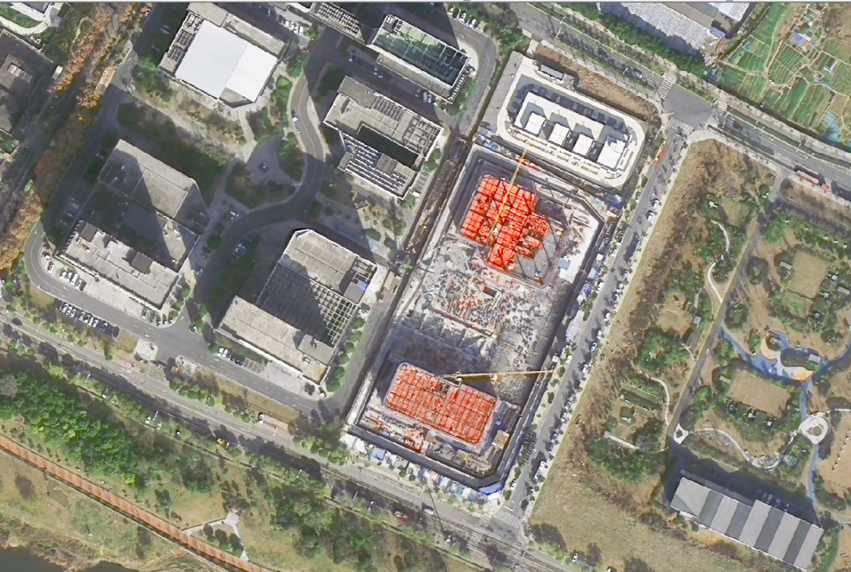
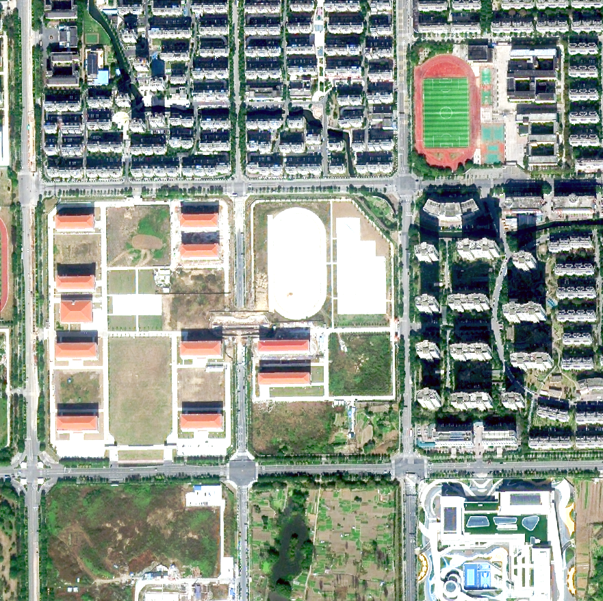
Land Surveying and Mapping: Accurately acquiring terrain and feature information to support land rights confirmation, monitoring illegal constructions, topographic mapping, and other tasks, thus meeting the needs of natural resource management;
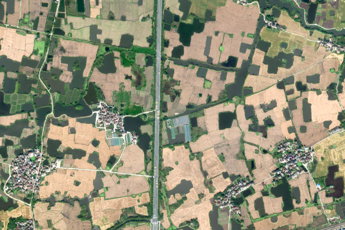
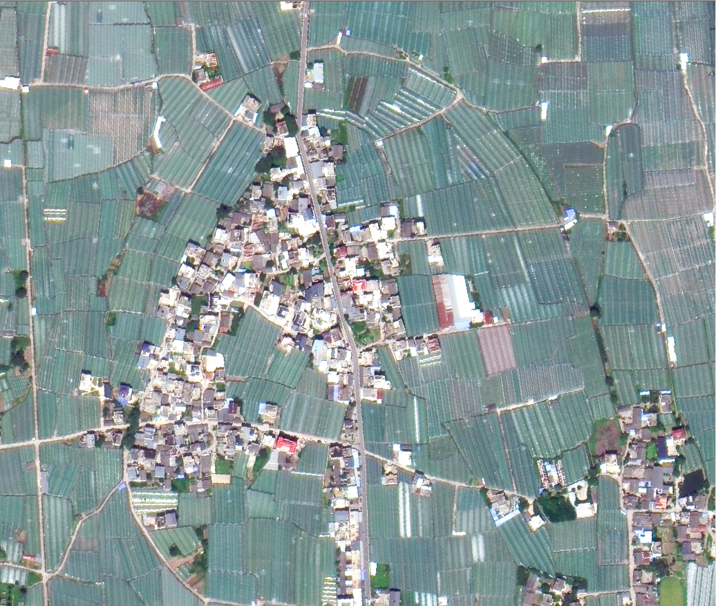
Agriculture and Rural Development: Monitoring crop growth, cultivated area, pest and disease outbreaks, as well as droughts and floods, thereby facilitating precision agriculture, yield forecasting, and agricultural insurance claims assessment;
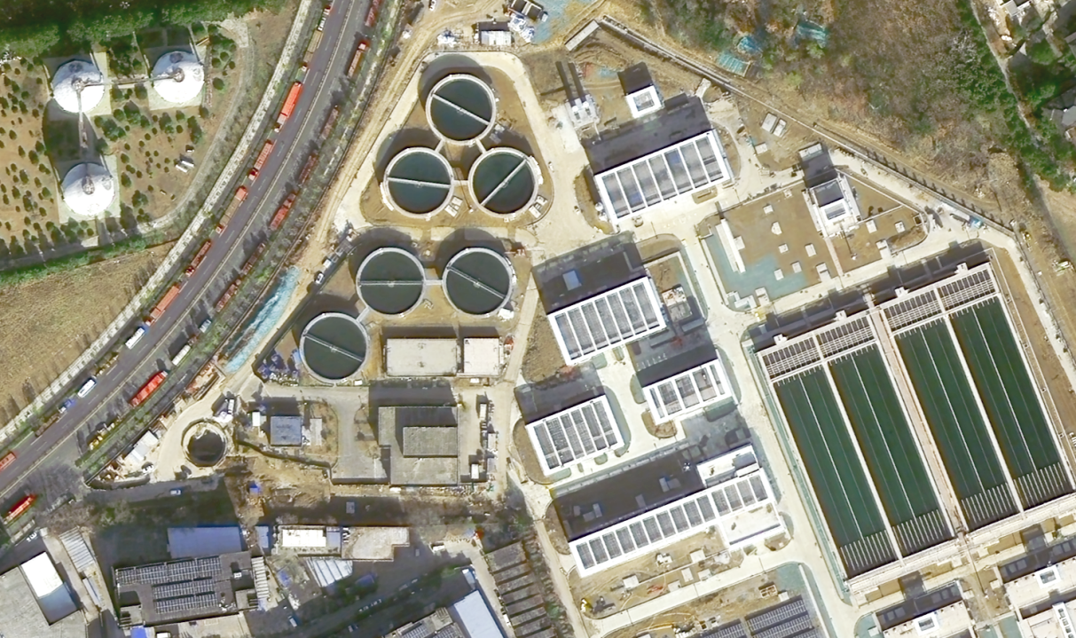
Ecological and environmental protection: Track water pollution, vegetation coverage, soil degradation, and changes in the atmospheric environment, and support ecological monitoring, carbon sink accounting, environmental protection law enforcement, and other work;
Emergency Disaster Relief: Rapidly respond to disasters such as floods, earthquakes, and wildfires, accurately obtain the extent of the disaster and the damage incurred, and provide data support for rescue deployment and post-disaster reconstruction;
Urban Governance: Monitor urban expansion, road network development, construction site activities, and green space distribution to meet the needs of smart cities, urban planning, and infrastructure operation and maintenance;
Energy Resources: Monitor photovoltaic/wind farms, track the operational status of oil and gas pipelines, oversee mining operations and ecological restoration, and enhance the efficiency of energy resource development and operations.
Iii. Efficient Solution Process (4-step Closed Loop, Quick Implementation)
Demand matching (response within 1 working day) : A dedicated person will connect with the client to clarify data accuracy, coverage, delivery form and application scenarios, and quickly output the demand solution.
Data acquisition (speed-up as needed, imaging within 24 hours at the fastest) : Relying on the "Yaohai Science and Technology Innovation Satellite" and cooperative constellation resources, satellites are dispatched according to demand to prioritize imaging and ensure the timeliness of data.
Intelligent processing (combining standardization and customization) : By applying AI intelligent interpretation technology, it completes data correction, splicing, extraction, and analysis, adapting to the specific application requirements of customers and simplifying the threshold for data application.
Precise delivery + after-sales guarantee: Deliver data in the agreed form (including raw data, processed data, and analysis reports), provide 7× 24-hour technical support, and solve subsequent problems in data application.
Iv. Core Solution Advantages
Resource advantages: It has its own "Yaohai Science and Technology Innovation" satellite, which can be networked with Jilin-1 and linked with top-notch resources such as Changguang Satellite and Zhongke Xingtu. It has over 170 in-orbit satellite resources, making data acquisition more autonomous and efficient, and avoiding the risk of resource dependence.
Efficiency advantage: Full-process closed-loop control, response speed, imaging speed and processing speed are all superior to the industry average, significantly shortening the project cycle for customers.
Customization advantages: Reject the "one-size-fits-all" approach, deeply align with the customer's industry scenarios, and provide full-chain customization services from data acquisition to application adaptation, solving the problem of "disconnection between data and demand".
Technical advantages: Integrating core technologies such as AI intelligent interpretation and high-precision data correction, the data accuracy meets the standards, the processing efficiency is increased by more than 30%, and the application cost for customers is reduced.
V. Full-Process Data Assurance
Source guarantee: All data are sourced from our own and cooperative domestic legitimate constellation resources, which are traceable, compliant and legal. Illegal and low-quality data are strictly prohibited.
Precision Assurance: "Yaohai Science and Technology Innovation" is a commercial optical satellite. By integrating cooperative resources, it provides high-resolution data at the 0.5-meter level and multiple verifications to ensure data accuracy.
Security Assurance: Establish a complete data security control system. Customer data is exclusively stored and strictly confidential to prevent data leakage and abuse.
Service Guarantee: 7× 24-hour technical support, dedicated personnel to follow up on after-sales service, promptly solve various problems in data processing and application, and ensure smooth use for customers.
Xinhe Hangyao takes "self-owned satellites + top-notch resources + efficient services" as its core, focuses on customer pain points, and creates high cost-performance and highly adaptable satellite remote sensing data production solutions to help various industries achieve digital and intelligent upgrades. We look forward to working hand in hand with you for a win-win situation!
Vi. Data Types
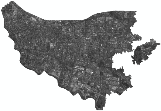
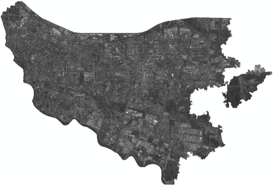
(1)High-resolution remote sensing satellite images can clearly identify the geometric contours and details of ground objects.
Data characteristics
High space details: You can see the edges of buildings, vehicles, road markings and other fine structures.
Panchromatic and color: Generally, they are divided into black and white (Panchromatic) and color (Multispectral). Panchromatic resolution is the highest, while multispectral retains color information.
Strong intuitiveness: The visual effect is close to that of aerial photos and is easy for the human eye to interpret.
Main applications: Fine urban planning, target identification, and damage assessment after disasters.
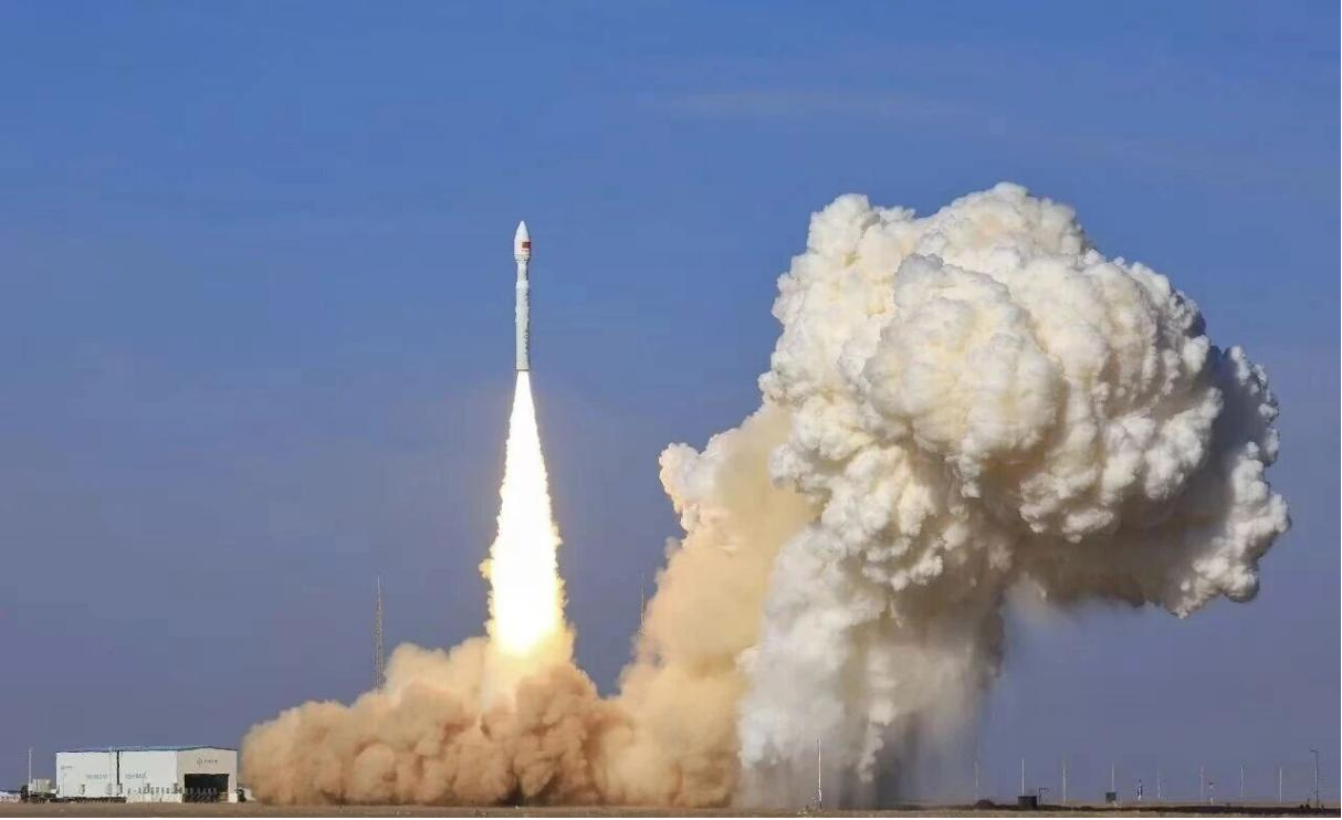
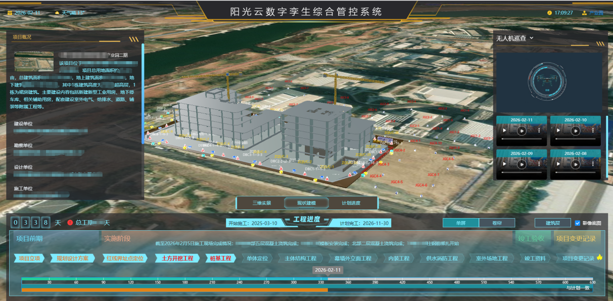
The launch site of the "Yaohai Science and Technology Innovation"
The first video of the "Yaohai Science and Technology Innovation" was released
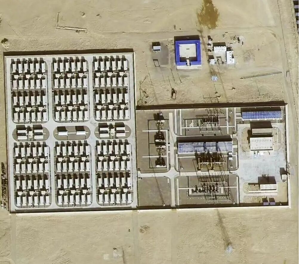
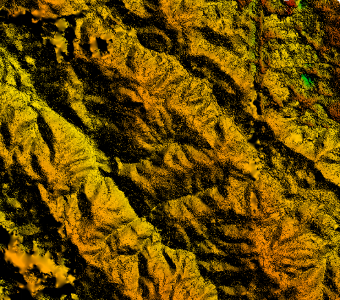
0.5-meter high-resolution image
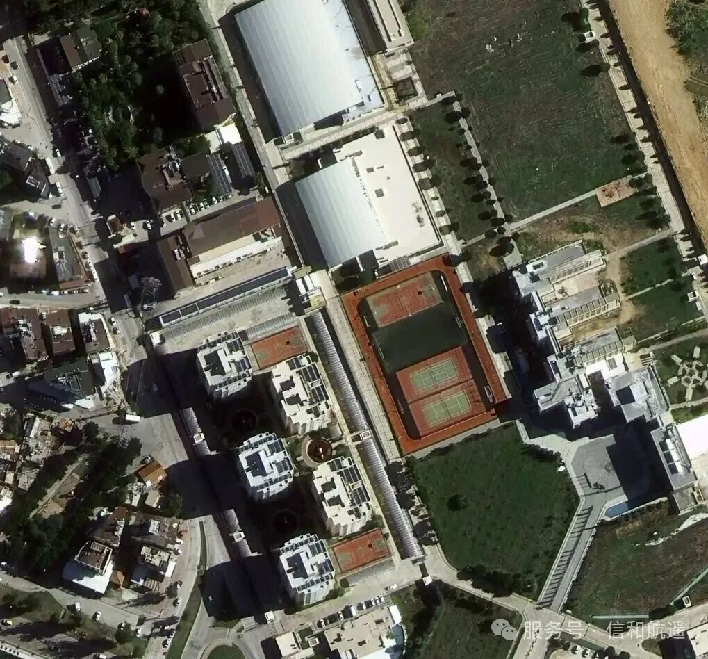
Sub-meter high-resolution images
(2) InSAR, based on radar satellite (SAR) data, is an active microwave remote sensing technology. Its core lies in measuring the minute deformations and elevations of the Earth's surface.
Data characteristics
All-weather and all-time: Microwave energy can penetrate clouds, rain, snow and darkness, and is not affected by weather or light.
Deformation monitoring: It can monitor ground subsidence, landslide movement or surface displacement after an earthquake with millimeter-level accuracy.
Penetrability: It can penetrate vegetation canopy and even dry ground surfaces to a certain extent to obtain subsurface information.
Main applications: Ground subsidence monitoring (such as in mining areas and cities), earthquake and volcanic activity monitoring, landslide early warning, and digital elevation model (DEM) generation.
Digital Elevation Model (DEM)
(3) Multispectral remote sensing data, which focuses on spectral information, analyzes the physical and chemical properties of ground objects by capturing their reflectance in different bands (such as red, green, blue, and near-infrared).
Data characteristics:
Discrete bands: Typically include3—10 relatively wide bands.
Vegetation sensitivity: Particularly sensitive to the near-infrared band, which is highly responsive to vegetation health conditions.
Quantitative analysis: By calculating vegetation indices (such asNDVI) and water body indices, the imagery is transformed into quantifiable physical parameters.
Major applications: Crop growth monitoring, land-use classification, water quality monitoring, forest cover assessment.
Red band
Blue light band
Green Light Band
Near-infrared band
Full-color four-band imagery
(4) Stereo Image Pairs— Remote sensing stereo image pairs are two (or more) images acquired by a satellite remote sensing platform from different spatial locations and viewing angles over the same ground area, with a certain degree of overlap. They serve as the core foundational data for remote sensing 3D mapping, terrain inversion, and 3D modeling.
Data entity characteristics:
The resolution typically consists of panchromatic stereo (high resolution, used for mapping) + multispectral (providing spectral information simultaneously).
Geographic references come with built-in geographic coordinates, commonly including WGS84, UTM, etc., which can be directly imported into GIS/surveying systems.
Radiometric characteristics include grayscale/DN values, which can be used for radiometric calibration and atmospheric correction, while also supporting stereo matching and object interpretation.
Can be widely applied in fields such as urban planning, land-use planning, environmental monitoring, resource surveys, and more, providing high-quality geospatial data support for decision-makers and researchers.
(5)Infrared remote sensing data primarily detect the thermal radiation energy emitted by objects themselves, reflecting their temperature status rather than reflected sunlight.
Data characteristics:
Thermal sensing: records surface temperature (LST) or thermal anomalies.
Nighttime Observation: Works at night without relying on sunlight (passive infrared).
Anomaly Detection: Can detect high-temperature spots or low-temperature areas invisible to the naked eye.
Primary applications:
Environment and Disasters: Forest fire monitoring, volcanic eruption monitoring, and urban heat island effect analysis.
Geology and Agriculture: Drought Monitoring (soil moisture deficit and high temperatures), and even for detecting surface temperature anomalies before earthquakes.