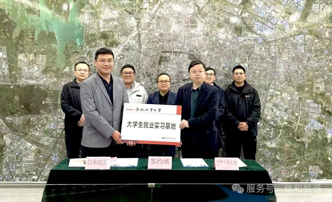
Xinhua Aerial Remote Sensing and the School of Civil and Hydraulic Engineering at Hefei University of Technology jointly establish a practice base, fostering collaboration between academia and industry to jointly promote the development of spatial information technology.
News Feed

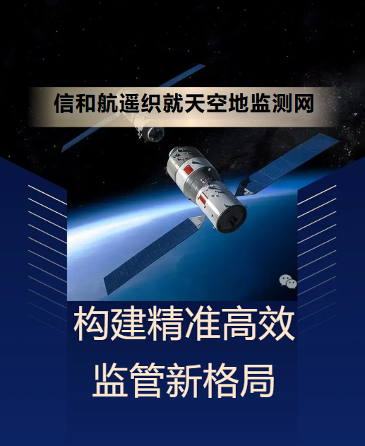
As satellites precisely capture surface changes in the vast expanse of the sky, and drones soar like agile birds over mountains, rivers, lakes, and seas, while ground sensor networks transmit real-time data pulses... a brand-new monitoring paradigm is reshaping our traditional management approaches. This is “integrated sky-ground monitoring technology.”

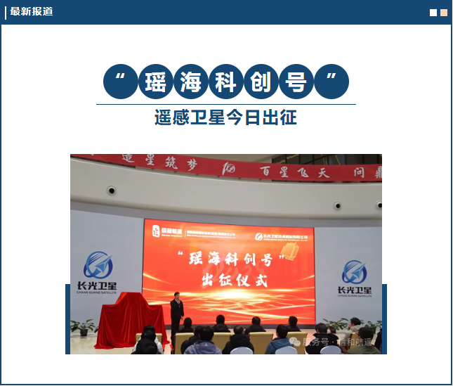
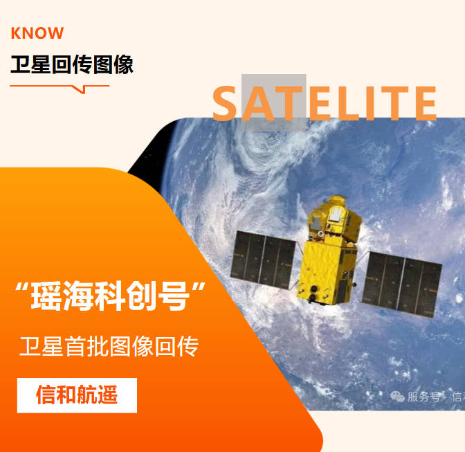
At 12:03 on December 10, 2025, at the Jiuquan Satellite Launch Center in China, the Lijian-1 Y11 carrier rocket successfully launched Anhui Province's first commercial optical remote sensing satellite, "Yaohai Science and Technology Innovation", into space. The satellite smoothly entered its predetermined orbit, marking a complete success of the launch mission!
Business Cooperation
Ms. Elsa +86 188 2990 4123
Mr. Xiang +86 189 5519 9155
Company Email
elsa@rsitxinhe.com
Address
China · Anhui · Hefei · Yaohai
China Net Valley , 5th Floor, Building 2