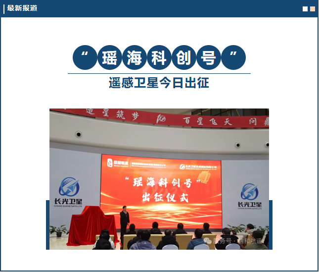
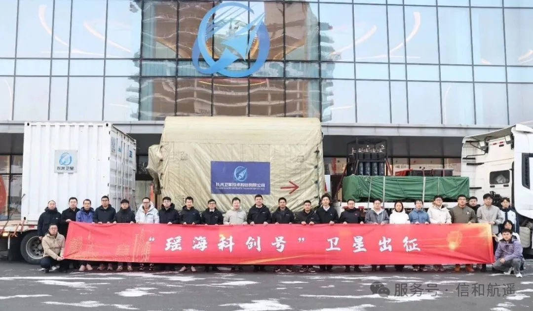
On November 17, 2025, the launch ceremony for Anhui Province’s first commercial optical remote-sensing satellite, ‘Yaohai Kechuang,’ was held at the Aerospace Information Industry Park in Jilin Province. Leaders and employee representatives from the satellite’s co-developing institutions—Xinhua Hangyao Information Technology (Anhui) Co., Ltd. and Changguang Satellite Technology Co., Ltd.—attended the event to jointly see off the satellite’s transport convoy.
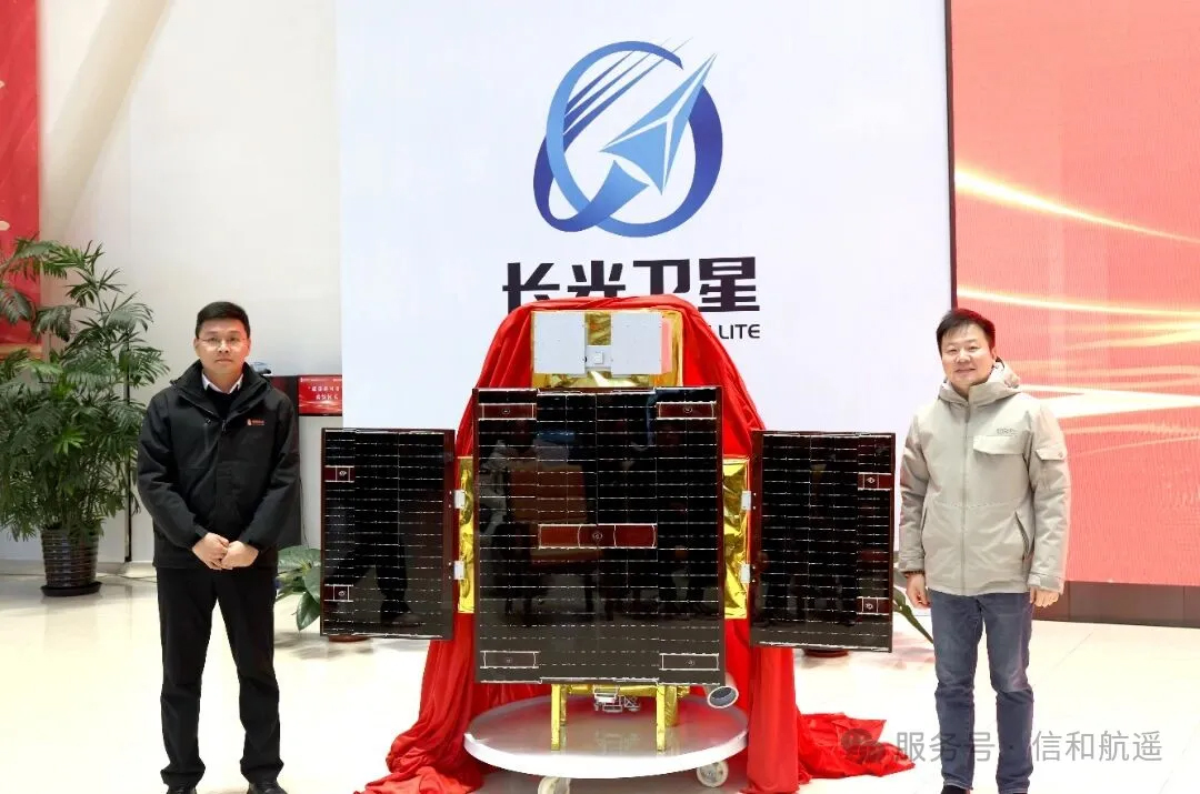
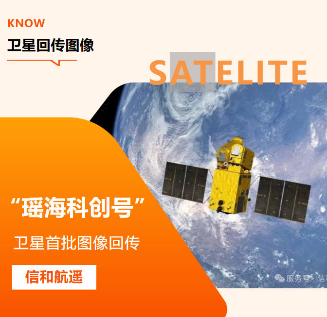
The “Yaohai Kechuang” remote sensing satellite is a high-precision, high-resolution optical remote sensing satellite jointly developed by Xinhua Aerospace Remote Sensing Co., Ltd. and Changguang Satellite Technology Co., Ltd., a leading domestic satellite enterprise. It marks a milestone in the deepening of the two parties’ collaboration on “air-space-ground integrated” solutions. This satellite can swiftly meet the demands of various types of missions, including hotspot imaging, stereoscopic imaging, and imaging of space-based targets.
The ‘Yaohai Kechuang’ satellite was developed based on the concept of deep integration onboard, featuring a next-generation multi-core parallel central processing unit and an on-board intelligent processing architecture. It incorporates precise orbit determination and high-frequency attitude data processing, coupled with advanced ultra-stable attitude control strategies, significantly enhancing the positioning accuracy and geometric quality of image products. At the same time, the satellite boasts in-orbit deployment and update capabilities for mission planning and processing algorithms. It can acquire high-definition imagery with panchromatic resolution better than 0.5 meters. This satellite aims to promote the large-scale application of domestically produced remote sensing data, support new urban management approaches, and facilitate Yaohai’s digital transformation, jointly crafting a blueprint for ‘smart city remote sensing’ and injecting stellar energy into the construction of a beautiful China.
The ‘Yaohai Kechuang’ satellite will be launched soon at the Jiuquan Satellite Launch Center on a date yet to be determined.

In recent years, Xinhua Hangyao Company has focused on the integration of aerospace information and technological innovation, building an integrated “air-space-ground” monitoring network. This has promoted the deep application of high-precision remote sensing in new areas such as safeguarding natural resources, ecological environment governance, urban spatial planning, and enhancing management efficiency, yielding a number of leading achievements.
Following the successful launch of ‘Yaohai Science and Technology Innovation Satellite,’ the district’s capabilities in high-precision remote sensing monitoring and data acquisition will be significantly enhanced, facilitating breakthroughs in proactive supervision of natural resources, ecological environment protection, water conservancy and water management, agricultural and rural regulation, urban governance, and various resource surveys and change management efforts. This will further unlock the potential for transforming satellite remote sensing technology into practical applications, providing solid data support and decision-making basis for the region’s high-quality development and the implementation of major national strategies.