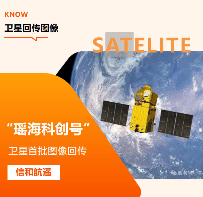
Title: 0.5m High-Resolution Optical Satellite Imagery Export & Satellite Task Programming Service
Meta Description: We provide export-ready 0.5m high-resolution optical satellite imagery and flexible satellite task programming services for global clients. Support land survey, mapping, infrastructure planning, environmental monitoring and other geospatial projects.
Full Article
0.5m High-Resolution Optical Satellite Imagery Export & Satellite Task Programming Service
High-resolution optical satellite imagery has become a core geospatial data resource for global engineering, mapping, environmental protection and resource management sectors. Our company offers professional 0.5-meter high-resolution optical satellite imagery export service, paired with on-demand satellite task programming, to deliver reliable, high-quality remote sensing data to international customers.
What Is 0.5m High-Resolution Optical Satellite Imagery?
0.5m resolution optical satellite imagery means each pixel on the image represents 0.5 meters on the ground. Compared with medium and low-resolution satellite data, it can clearly capture fine ground features: buildings, roads, vehicles, small water bodies, vegetation boundaries and man-made facilities. Our 0.5m optical satellite products feature rich visible spectrum information, natural color restoration, and wide coverage. The data is preprocessed to different levels, including orthorectified imagery, ready for direct use in mapping, asset inventory and site analysis.
Satellite Task Programming Service
For customers who need custom area observation, we provide satellite task programming (task ordering) service. You can submit your target region, imaging time window, cloud cover threshold and other requirements. Our team will arrange satellite acquisition missions, schedule the satellite to pass over your designated area, and capture fresh optical imagery as requested. Key advantages of our task programming service:
1. Custom geographic area definition, support global coverage
2. Adjustable time window for image acquisition
3. Strict cloud cover control to guarantee image usability
4. Professional pre-processing workflow after data capture
5. Stable data export delivery for overseas clients
Main Application Scenarios for 0.5m Optical Satellite Imagery
· Topographic mapping and cadastral survey
· Urban planning, construction site monitoring and infrastructure inspection
· Mining area inventory, land resource investigation
· Disaster assessment: flood, wildfire and landslide post-event damage mapping
· Agricultural monitoring, crop classification and vegetation survey
· Environmental protection, wetland and coastal zone monitoring
· Logistics route planning and large asset management
Our Service Advantage for Overseas Clients
Combined with our SAR and InSAR remote sensing data supply capacity, we can deliver both optical and synthetic aperture radar datasets in one-stop.
· Standardized data formats compatible with mainstream GIS software
· Complete data quality inspection before export
· Professional technical consultation for data selection and usage
· Efficient project communication and customized delivery plans for international business
FAQ
Q1: What delivery formats do you support for exported 0.5m optical satellite imagery?
A: We commonly deliver GeoTIFF, the standard format widely used in QGIS, ArcGIS and other geospatial platforms. Auxiliary metadata and RPC files are also provided together.
Q2: What is satellite task programming?
A: Satellite task programming refers to submitting observation requirements to schedule the satellite to take new images over your target area, instead of purchasing archived historical satellite imagery. It suits projects requiring newly captured data.
Q3: Can you provide both 0.5m optical imagery and SAR data in one order?
A: Yes. We supply optical high-resolution imagery as well as SAR satellite data. You can combine optical and radar data for multi-source remote sensing analysis.
Q4: Is the imagery available for cross-border export?
A: Our team follows relevant international trade and data compliance rules to support satellite imagery export for qualified commercial projects. Contact us to discuss your project details.